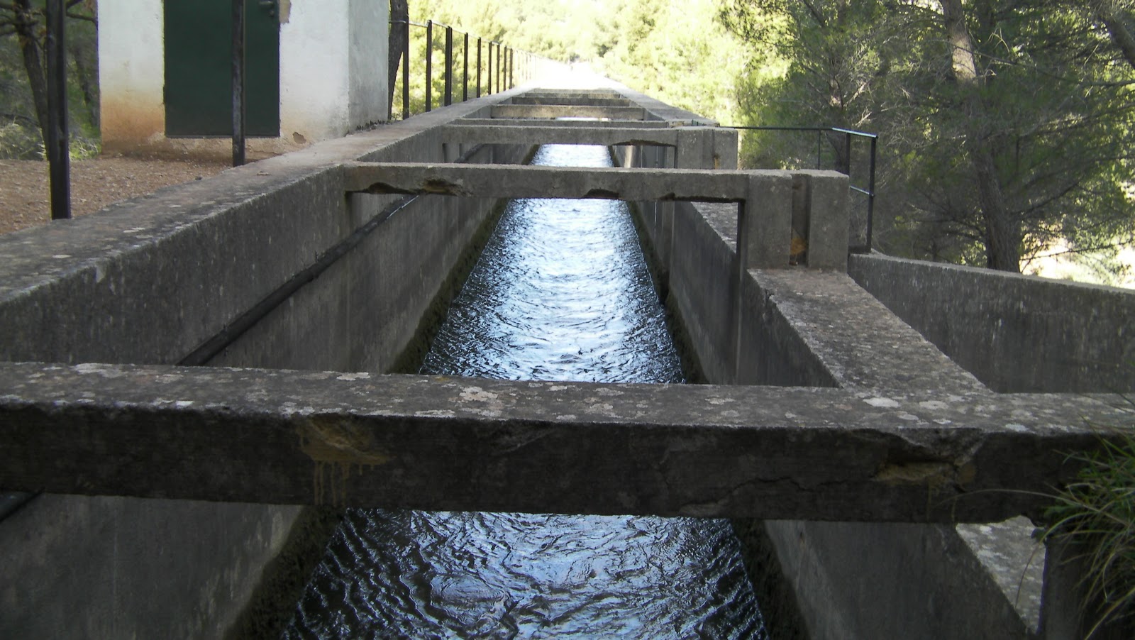
On Saturday Jan 14, we decided to go for a hike on Saint Victoire a ridgey mountainey kind of thing just to the east of Aix-en-provence. To take it easy on everyone we choose the hikes rated as easy so that we could learn how the map ratings, and our abilities correlate, as well as get an idea of the accuracy of the hiking times. Everyone starts up the trail to see the Durand aqueduct, about 40 min down the trail.
During the ascent we see trees and rocks fighting it out for supremacy, it feels like Greece here with olive groves etc.
A still operational aqueduct that channels water to irrigate the nearby valley
Aqueduct as seen from below (20 min hike to this point, map says 40, but if you interpret that as round-trip we are right on schedule)
Terraced olive grove.
The main body of Saint Victoire as seen from the trail, just visible on the peak is the Cross of Pcrovence, a 19m high steel cross visible most of the places we have been.
In contrast to the white stone of the top of Ste Victoire, the base layers are a red clay compaction.
Some side-notes - Ste. Victoire roughly translates as "Ankle Eater", and FYI don't run down the rubbly mountain path, on Ankle Eater, and expect to emerge from the other side with properly tensioned ligaments.


No comments:
Post a Comment