The Croix de Provence is a 60 foot high cross on top of Mt. Ste. Victoire, just to the east of Aix-en-Provence.
The cross is at 948m and the base of the trail we took is about 300 m, making for about a 600 m gain in altitude. This hike is rated as "easy" in our map/guide and it is not overly technical (no ropes/chains etc) it is just a matter of consistently putting one foot in front of the other, and repeating many times.
As we start the hike we get a nice view of the cross on top of the hill in the distance.
Many foot-falls later we see the cross from much closer up. There is also a small priory built here at 888m , and was completed in 1664.
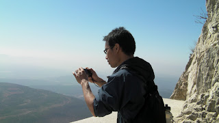
In addition to the priory there is a refuge, with areas to sleep and a large table that can accommodate up to 20 people. When we were there a large group of about 15 was having a nice lunch on the table, complete with wine. The cross can be approached either from the South or the North, we came up the North side, here is Michael looking down the South side - a much much harder route, complete with the ropes and chains etc.
Closer, but not quite there.
This is the refuge, and the pulley system you can use to haul up you supplies, or injured comrades.
A nice large flat area provides a good spot for picnics, this group of retired persons could easily hike past us...naturally we let them leave first.
Closer ever closer
CROIX de PROVENCE.
Which way down?
We have a very nice picnic lunch at the top, and start off again for the parking lot. The trip is about 2hrs up and 1.5 hrs down (10km return trip).
See you next time Croix de Provence. or as we said. Le Croix de Provence, C'est Incroyable. Quoi? Quel croix.


No comments:
Post a Comment